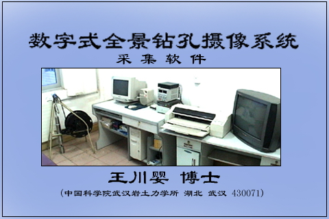
数字式全景钻孔摄像系统
Copyright since 1998 Whrsm , All Rights Reserved 鄂ICP备 11007814号 鄂公网安备 42010602001930号
Digital panoramic camera system of the basic principles of drilling is the use of a particular
optical transformation that is truncated conical mirror which implements the drill whole wall will
be 360 ° images reflecting a flat image. This image is called panoramic image plane, due to cylin
drical holes, which are not missing the three-dimensional panoramic image information. Panora
mic images can be located at the top of the mirror cameras, after which the optical transformat
ion was the formation of ringshaped panoramic image which twist changes have taken place,
and cannot easily be directly observed. Therefore, a panoramic image will restore the original
shape of the inverse transform drilling is necessary,
this inverse transformation can be achieved by com
puter algorithms.
To do this, first digital panoramic image, panor
amic images to establish the original hole and the
transformation relationship, and then develop the
corres ponding software, through the software,
to achieve the panoramic image to plane to start
plans or virtual drill core in synchronous display.
Expand map is a graphic that contains a complete (360 °) drill hole wall two image, like the hole
wall was split vertically along the Arctic, Drill core map is a virtual three-dimensional image.


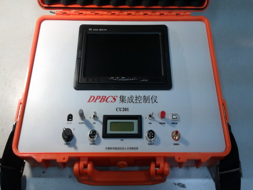
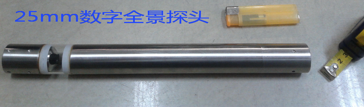
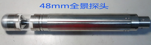
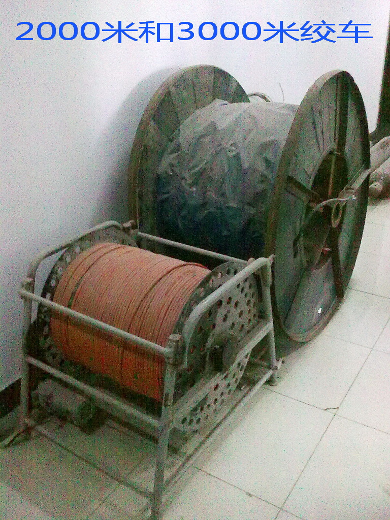
Digital Panoramic Borehole Camera System Structure and Technical Parameters
数字式全景钻孔摄像系统结构和技术参数